🔥

 +497
+499
+497
+499
Ahojte, uz dlhsie pouzivam tento web a mozem ho vrelo odporucit. Je to free a Strava ma aj free aplikaciu pod iOS alebo Android a vie spracovat aj data z Garmin navigacnych pristrojov. GPS v mobile tym padom posunie na iny level. Daju sa aj pouzit Ant+ snimace k mobilu. Najviac sa mi paci to, ze porovnava useky, po ktorych uz niekto presiel, a tak si viete pozriet, ako rychlo iny cyklisti presli dany usek a kde presne ste na nich urobili najvacsi naskok resp. stratu 
Zobraziť celý text
Diskusia (6 016)
ja zasa mám skúsenosť že po korekcii je to presnejšie, minimálne keď viem že som bol na kopci čo má 970m, tak s korekciou mi to tak zaznamená, bez korekcie tam hodí aj 1050.. tak isto sa niekedy na štarte stane že prvý bod dá dosť nepresný, teda ak štartujem vždy z domu kde je to okolo 400mnm a ono to hodí aj cez 500, potom výsledok bez korekcie je jasná blbosť. za mňa určite používať korekciu, som za tú funkciu rád, garmin mám už cez 5 rokov a zo začiatku také nebolo, nebol ani garmin connect a vždy sa mi tie hodnoty nastúpaných metrov zdali prehnané, s korekciou mi to príde uveriteľnejšie. ale tak je to aj o tom, že mám len hodinky a nemajú aj barometrický výškomer
Barometricky vyskomer je to dolezite zeliezko v ohni, ci uprednostnit korekciu alebo nie. Na forerunneri barometer nie je a tak oproti meraniu vysky podla gps ma DEM model lepsie vysledky. Ale ak mas barometer a nenastane nejaka anomalia, tak korigovat vysku z barometra podla DEM je hlupost. Barometer bez skalibrovania vie dat posun absolutnej hodnoty, ale ten posun je zvycajne rovnaky po celu jazdu. Rebricek doveryhodnosti by som dal 1.barometer, 2. free DEM, 3. GPS vyskove data
odporúčam pozrieť  https://www.youtube.com/watch?v=uH6YqAMKxD4
https://www.youtube.com/watch?v=uH6YqAMKxD4
arrow_leftDaDo.Bzz napísal:
Hlavne nech tam daju poriadnu mapu, vsak nie sme v roku 2000, ked zacinala gmap. Vidim tam nejaky segment, ale neviem ho najst lebo je in the middle of nowhere na mape v iPhone.
hlavne na elektrobikoch treba vyhladavat segmenty na strave. to je najlepsie

The Segment Leaderboards for cycling are a place for conventional bicycles only.
Uploading data from a car, motorcycle, e-bike, motor-assisted bike, motor-paced ride or any bicycle that includes any non-human propulsion or pedal-assisted force, and categorizing the activity as a "Ride" displaces data uploaded from a human-powered bike, thus conflicting with the fairness and integrity of the Segment Leaderboards.
The Strava User is responsible for the content uploaded to Strava.com, and is also expected to contribute positively to the Strava community. As stated in our Terms, repeated actions that don't follow these guidelines can result in some action taken by Strava on the offending account.
staci ze som si vsimol ze zasadne nahravas svoje vyjazdy ako ride - ergo proti terms... bud respektuj pravidla stravy alebo ju nepouzivaj - uplne staci aby si si svoje vyjazdy na ebiku nahraval ako sa to vyzaduje...
https://support.strava.com/hc/en-us/articles/216919507-Uploading-E-bike-motor-assisted-or-non-conventional-bike-data-to-Strava-Guidelines
https://support.strava.com/hc/en-us/articles/216919507-Uploading-E-bike-motor-assisted-or-non-conventional-bike-data-to-Strava-Guidelines
Nechapem tych ludi... Ved klamu seba. Keby boli za KOM nejake premie, tak tam je stipka zmyslu. Ale si neviem predstavit, ze si dam ebike na najvykonnejsi mod a pobeham v okoli naschval vsetky kopce... To je porucha osobnosti si myslim, nejaky komplex.
brutal výjazdík Karla Královca a galéria k tomu - https://*****saweb.google.com/106589025041750956420/6300576911834689985
https://www.strava.com/activities/621851141
http://www.les7majeurs.com/index.php/parcours/
možno sa niekto inšpiruje...
https://www.strava.com/activities/621851141
http://www.les7majeurs.com/index.php/parcours/
možno sa niekto inšpiruje...
Poslal som ti ich. Pre ostatných len dám do pozornosti tieto dve stránky, cez ktoré idú stiahnúť gpx aj pre ne-Premium užívateľov. Prvá ju stiahne vo formáte crs, druhá ho prekonvertuje na gpx.
http://strava-tools.raceshape.com/vpu/
http://www.gpsies.com/convert.do
http://strava-tools.raceshape.com/vpu/
http://www.gpsies.com/convert.do
by ma zaujímalo či si niekto z tých borcov čo donekonečna zakladajú tie pár metrové segmenty niekedy prečítali túto poznámku čo tam strava píše, z vlastných skúseností viem, že je to fakt veľmi nepresné na tak malých vzdialenostiach, keďže GPS záznam robí každé zariadenie v rôznych intervaloch a čiže nie na začiatku segmenta a na jeho konci ale zoberie sa najbližší bod a z toho sa top dovypočíta a pri 100m špurte je to nepresné, lebo rýchlosti v tých daných bodoch môžu byť diametrálne odlišné...
Ensure your segment is at least a few hundred meters in length. Due to a number of GPS intricacies, short segments (such as those that will generally result in efforts that are less than 60 seconds) are unreliable.
Ensure your segment is at least a few hundred meters in length. Due to a number of GPS intricacies, short segments (such as those that will generally result in efforts that are less than 60 seconds) are unreliable.
ak chcete mať pekné google videjko z výjazdu nad 20 km, tak doporučujem toto... www.relive.cc spárovať s účtom na strave a potom sa kochať, keď príde mail 
https://www.relive.cc/view/690863193
https://www.relive.cc/view/690863193
Na Heatmaps na strave treba mať premium a nie každý to má. Aj keď ja som sa priklonil k názoru, že aj keď mi to premium nič extra neprinesie, tak som to zaplatil ako podporu vývojárom, keďže robia kus dobrej roboty, že takéto niečo vôbec existuje a funguje.
Ak by vsetci chceli vsetko zadarmo, vela dobrych appiek by sme nemali.
http://www.jonathanokeeffe.com/strava/map.php
nieco taketo ti to v googlemapach vypluje
nieco taketo ti to v googlemapach vypluje

jakub023 LoL, ze Ty si riesis komplex ked on bucha segmenty na motorke? Takemu treba este aj eMozog asi.
Uz chapem preco bola spomalena Strava par dni - analyzovala segmenty na tejto jeho trase ;]
super addon do firefoxu
strava-map-switcher 0.7
je na vyber z par mapovych podkladov, medzi inymi aj
mapy.cz
mapy.cz aerial
opencycle
ak by dakto k tomu vedel prihodit freemap.sk, bolo by to dokonale
strava-map-switcher 0.7
je na vyber z par mapovych podkladov, medzi inymi aj
mapy.cz
mapy.cz aerial
opencycle
ak by dakto k tomu vedel prihodit freemap.sk, bolo by to dokonale
Mi to pripomenulo 2 roky nazad, keď som riešil metre,kilometre,výškové metre,maximàlky,priemerky... až som demontoval tachometer z riadítok a som spokojnejší. Stravu teraz používam ako štatistiku aby som bol trošku v obraze čo a kde som jazdil.
To že ťa zaujíma výkon iných neznamená, že nejazdíš sám pre seba a svoju radosť. Každému robí radosť niečo iné. Koniec OT
Podobné témy
posledný komentár: 4. 5. 2023 o 8:28
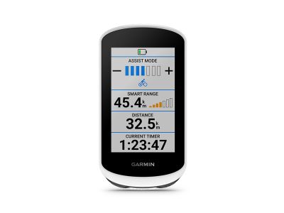
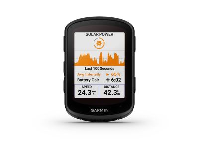
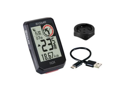
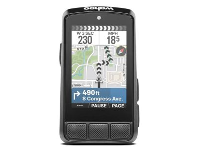
MTBIKER odporúča - GPS zariadenia na bicykel


MTBIKER odporúča - Držiaky na telefón

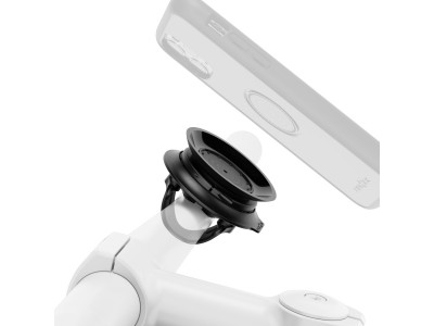
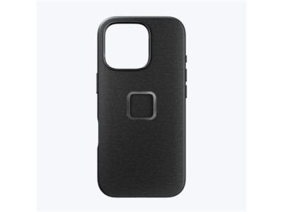
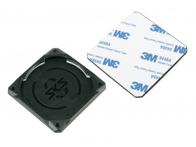


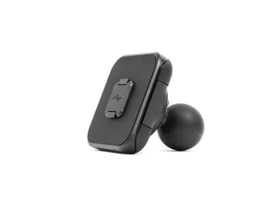
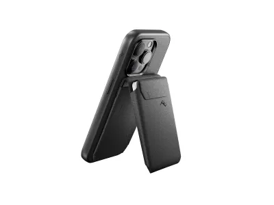

Peak Design Mobile Mount 1 adaptér pro držiaky telefónov do auta, čierna
61,99 €
MOC 63,99 €